Menu


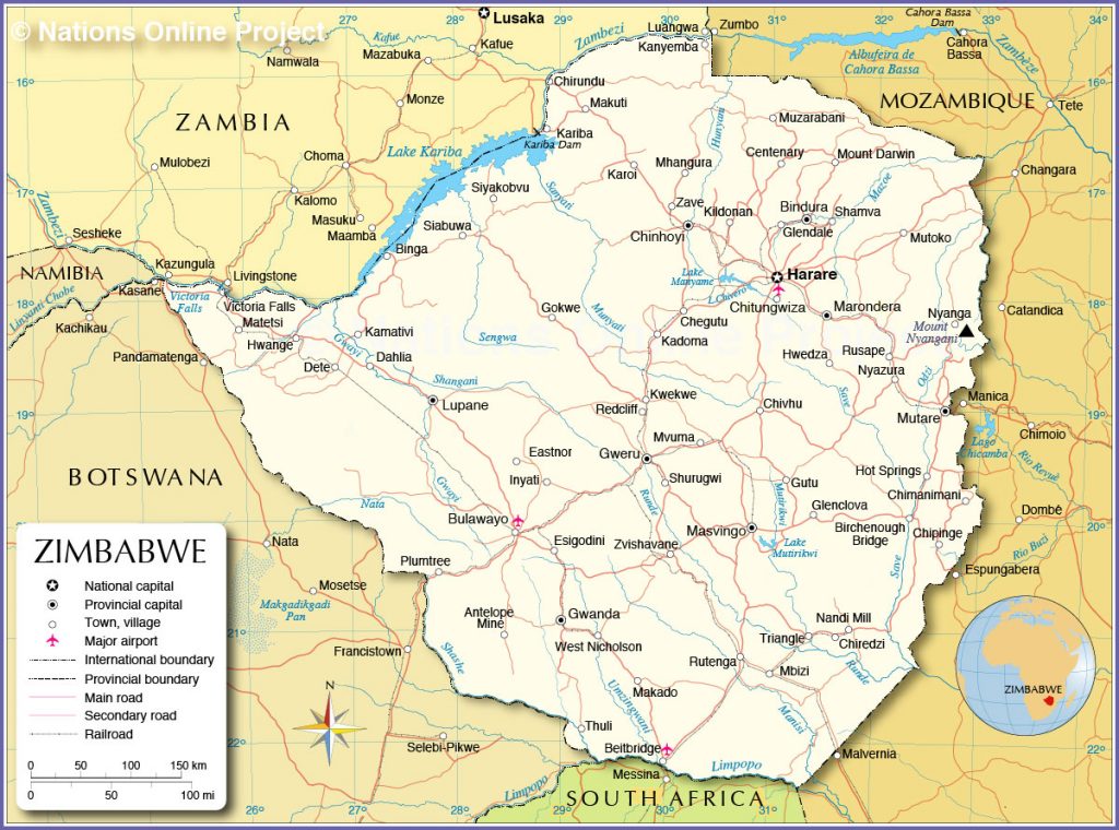
Thanks to its landlocked location, Zimbabwe shares multiple borders in the southern part of Africa, with Zambia to the northwest, Mozambique to the northeast, and South Africa and Botswana to the south. It is situated at 20°S and 30°E of the equator. The nearest coast is on the Indian Ocean and can be accessed through Mozambique.
Zimbabwe has a variety of terrains, featuring a number of natural wonders. Zimbabwe is known globally for its velds, which are open rural landscapes covered by grass or scrub, and Victoria Falls, a colossal curtain of water that stretches for 1,708 metres, reaching 108 metres in height - one of the largest in the world. Zimbabwe is also home to the Zambezi River, the fourth longest river in Africa, and Mount Nyangani, the country’s highest point.
The country’s landscape is divided into three geographical regions — the Lowveld, the Middleveld and the Highveld. The Lowveld is a plateau with an altitude of below 600 meters and covers almost a fifth of Zimbabwe’s area. It is hotter and drier than other parts of the country and characterized by grassy plains. The Middleveld is also a plateau, but ranges from 900 to 1,200 meters in height and consists of areas with wooded savannah and bracken-covered hills.

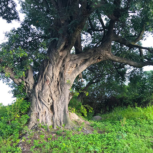
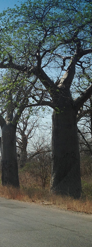
The Highveld is dotted with massive granite outcrops popularly known as kopjes. The area spans 650 kilometers from the northeast to the southwest and 80 kilometers east to west, with a varied topography ranging from smooth and gentle to rough and mountainous. It takes up a quarter of the country and includes the Eastern Highlands, the highest altitude in the country. The Eastern Highlands have a variety of flora, including miombo and mopane forests, as well as baobab and sausage trees, which are characteristic of the Zimbabwean landscape.
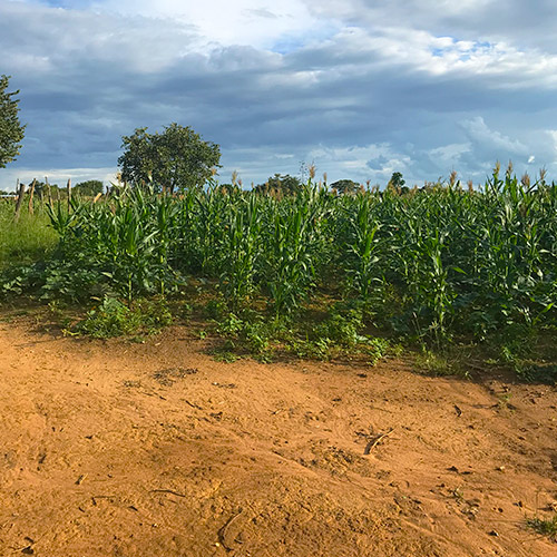
Zimbabwe can also be divided into five regions based on rainfall, soil quality, and vegetation variations. Natural Region 1 is located in the east of the country, and has abundant rainfall and dense vegetation. Region 5 sits in the south, also home to the Lowveld, and has sparse rainfall, and thus less vegetation.

Mount Nyangani, in the Eastern Highlands, is the country’s highest point at 2,592 meters, while the junction of the Runde and Save Rivers is the lowest, at 162 meters. The Eastern Highlands region is a forest-grassland featuring both rain forests and rolling hills. The Zambezi River is Zimbabwe’s longest, at 2,650 kilometers, and is also the longest eastward-flowing river in Africa. Victoria Falls, or Mosi-oa-Tunya (which translates as “the smoke that thunders”) is Zimbabwe’s top tourist attraction and a UNESCO World Heritage site. The Falls are fed by the Zambezi River and are at their fullest in February and March. The Matobo Hills in the south of Zimbabwe are a collection of balancing granite boulders that appear to defy gravity. The hills are also considered sacred by the locals.
Climatologically, the country has a subtropical to tropical climate, with temperatures varying by season. The climate also varies by altitude and the entire country is influenced by the Intertropical Convergence Zone (ITCZ), an area spanning the earth, near the equator, where the trade winds of the northern and southern hemispheres come together. Zimbabwe’s summers are generally hot and humid, with average temperatures of 35°C, with the hottest months being January and February. The rainy season lasts from November to March, and the dry, cool season stretches from May to September.
When rainfall is sparse, it affects geographical areas that rely on it, like the Zambezi River and Victoria Falls. This results in a shrinking of the Falls, such as the dramatic drop in volume seen in 2019. Low rainfall also affects the Eastern Highlands, whose rain forests depend and thrive on large amounts of rainfall. Zimbabwe’s climate, particularly its rainfall, thus play a pivotal part in the continuity and condition of many of the country’s geographical sites, which are a wonder not only to the local people, but worldwide as well.
